The Problem
Popular route-finding and navigation apps are designed for cars, two-wheeled cyclists, and pedestrians. This means that the routes they generate often involve a barrier wheelers cannot pass, such as:

Steps

Steep Hills
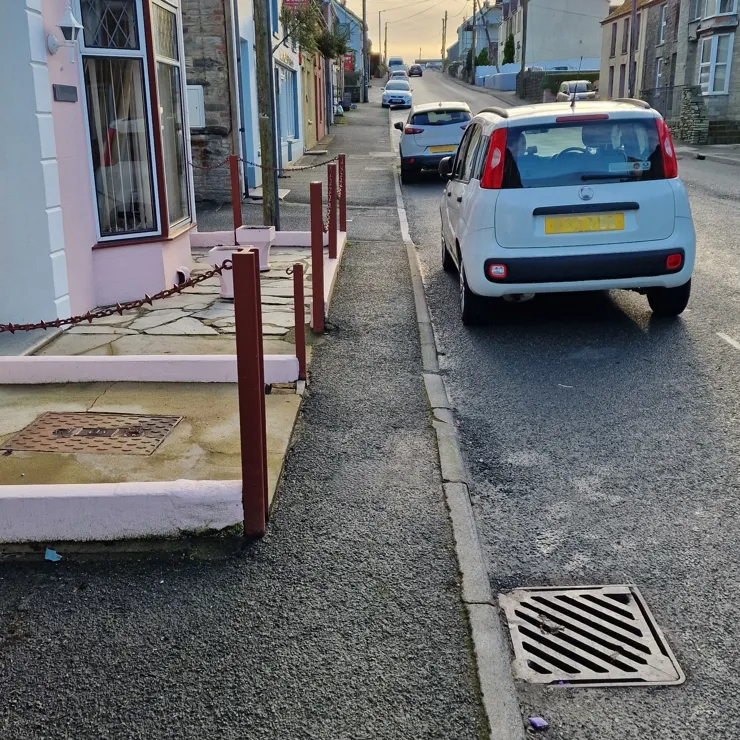
Narrow Paths
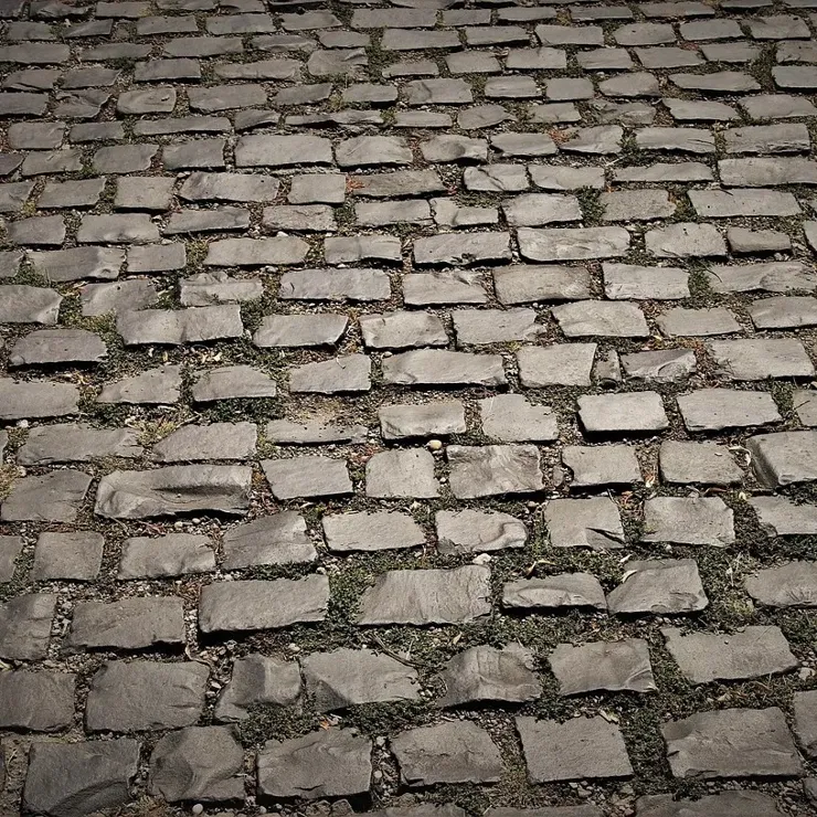
Rough Surfaces
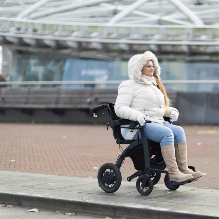
No Dropped Kerbs
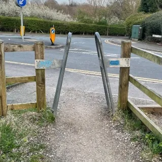
Motorised Vehicle Barriers
Furthermore, cars, bicyclists, and pedestrians prefer the fastest or shortest route between two points, whereas wheelers prefer the most energy-efficient route to conserve their device battery or personal energy and avoid becoming stranded.
A lack of prior knowledge of accessible routes and facilities often prevents disabled people from leaving their home, for fear of coming across barriers that prevent them getting to their destination, or worse, getting lost or stranded due to an empty device battery.
Being stuck at home can negatively affect mental health and reduces interaction with other people and the economy.
Our Solution
- A route-finder and navigation app designed specifically for wheelers
- An algorithm that generates accessible, barrier-free routes based on:
- the specific needs of the user (e.g. maximum incline, no cobbles)
- the limitations of the wheeled mobility device (e.g. dimensions)
- Icons on the map indicating the locations of accessible features, including:
- ramps and dropped kerbs
- lifts that are large enough for the users mobility device
- accessible points of interest
- accessible toilets
- An easy to use interface to allow users to report locations of barriers, ramps, and dropped kerbs.
- An integrated social network where wheelers can
- connect with each other
- share accessible routes and ideas
- allow a carer or friend to locate them in an emergency
- Connections to accessible public transport
Market Size
1 in 8
people are mobility impaired
8 Million
people in the UK are mobility impaired
1 Billion
people in the world are mobility impaired
Market Validation
The Disabled Citizens' Inquiry by Sustrans (2023) found 80% of mobility impaired people would find a way-finding and journey planning tool where they can share information, experiences and rate routes or destinations useful for them to wheel more.
Key Differentiators
What makes Mobility Mapper different from existing mapping apps?

Dedicated to wheelers
Barrier-free routes based on the specific needs of the user and limitations of the mobility device
High resolution elevation data - essential for accurate incline calculation
Locations of barriers, ramps and dropped kerbs continuously updated and reported by users
Locations of barriers, ramps and dropped kerbs identified using AI with street-level images and video
Surface classification continuously improved and updated using smartphone vertical acceleration data
OpenStreetMap data enhanced with Ordnance Survey Data
Incorporates multiple accessibility databases
Multimodal routing with accessible public transport
Integrated social network
Further Benefits
Mobility Mapper will also benefit the following:
The Environment
Reduced car use improves air quality and noise pollution.
The NHS
Wheeling improves mental and physical health.
The Economy
Increased interaction with local business and tourism. Reduced car use saves money and alleviates the pressures of the cost-of-living crisis.
Society
Increases community engagement to help create more vibrant neighbourhoods and society.
Many other people can also make use of Mobility Mapper, including:

Parents and carers with prams and pushchairs
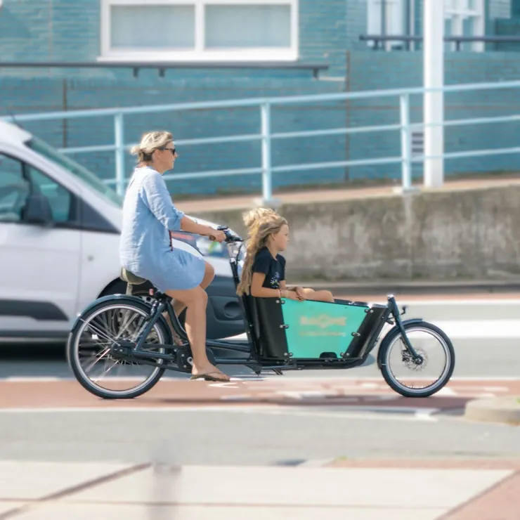
Cargo bike riders

Travellers with wheeled suitcases
