Key Features
Mobility Mapper is designed to make navigation and route planning effortless and accessible for users of wheeled mobility devices. Below, we showcase six standout features that address many of the issues experienced by wheelers.
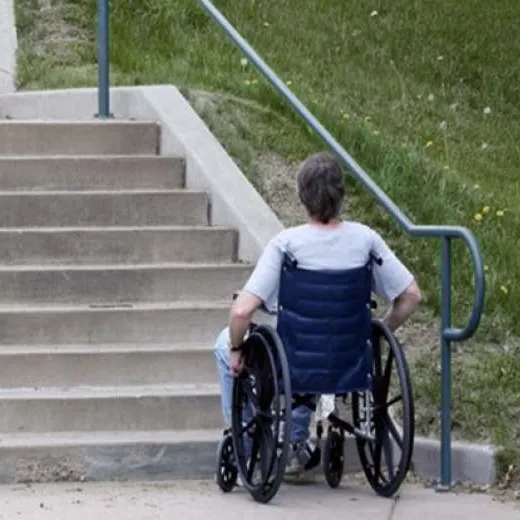
Avoid barriers
Mobility Mapper generates routes that don't involve barriers, such as steps, steep hills, narrow paths, rough surfaces, high curbs, and gates designed to block motorbikes.
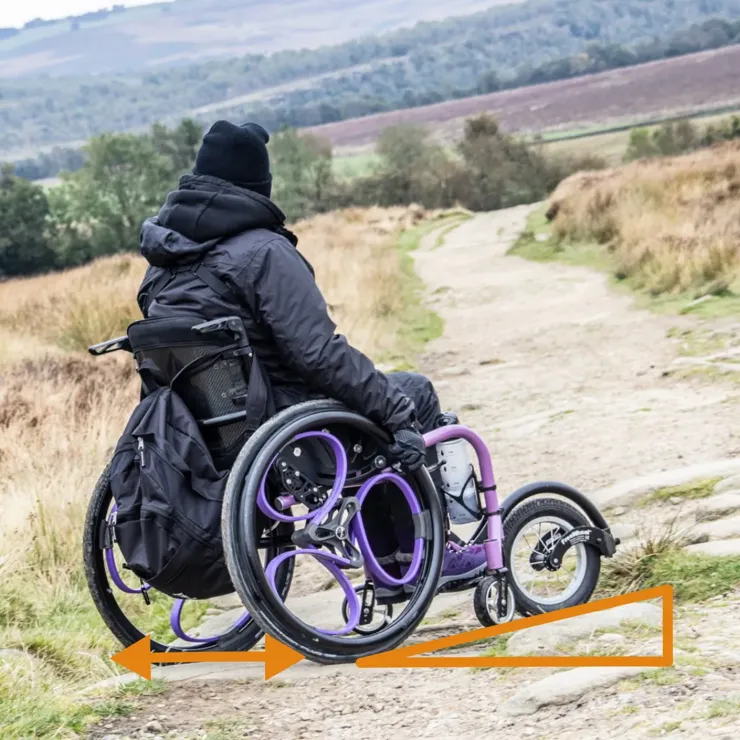
Tailor routes to your needs
Generate accessible routes based on your specific needs of the user (e.g maximum incline, no cobbles), and the limitations of your mobility device (e.g. minimum path width, maximum single step height).
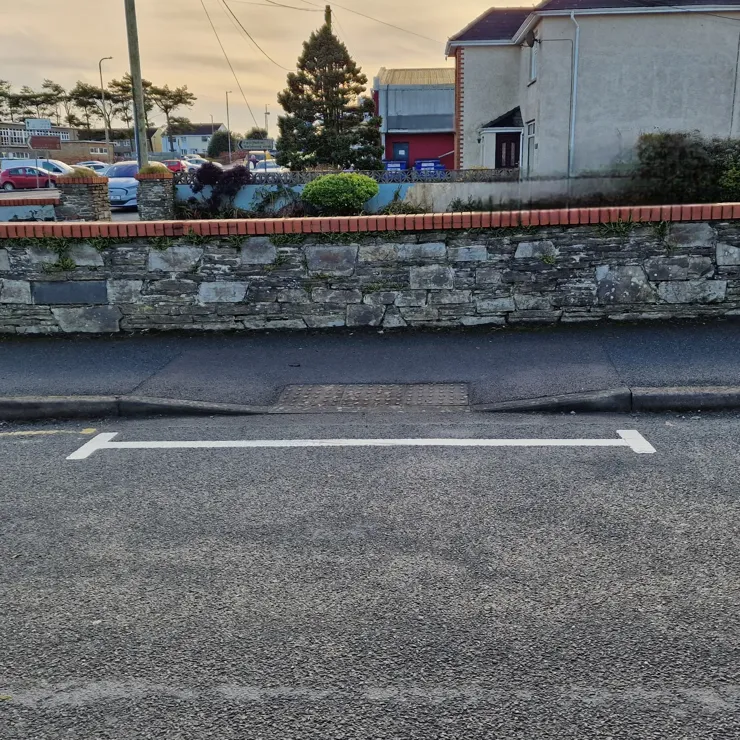
Locate dropped kerbs and ramps
Dropped kerbs and ramps are marked on the map, so you can easily find exit and entry points.
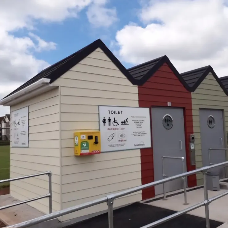
Locate accessible points of interest
Accessible points of interest are displayed on the map, including toilets, cafes, shops, and nature spots.
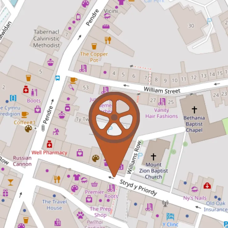
Report barriers and dropped kerbs
If you come across a barrier, ramp or dropped curb that is not marked on the map, you can report it on the app.
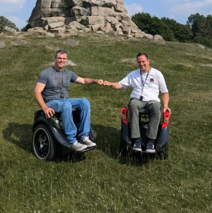
Connect with other wheelers
An integrated social network enables you to connect with other wheelers, and share information on accessible locations and favourite routes.
If you would like more details about the problems the app solves, including a list of features that make Mobility Mapper different from existing mapping apps, please visit our Funding and Partnerships page. Although it was created with potential partners in mind, it is a great source of information for anyone who would like to learn more about the thinking behind the app!
Funding and PartnershipsWe are currently seeking funding and partnerships!
Whether you are an organisation or individual, you can help us accelerate the development of Mobility Mapper. Please check out our page for potential funders and partners by clicking on the button below.
Funding and partnerships